A Blue Water Trail Guide to Clark County’s Kentucky River
Published 11:21 am Friday, March 16, 2018
This is the first in series of columns adapted from a Blue Water Trails Guide composed by historian Harry Enoch for the Kentucky River Water Trail Alliance.
Rising from headwaters in the Appalachian Mountains, three separate streams — the North Fork, Middle Fork and South Fork — come together near Beattyville to form the Kentucky River.
Here the river begins a journey of more than 250 miles to its confluence with the Ohio River at Carrollton.
The river played a vital role during the settlement period. It brought pioneers into the fertile Central Kentucky area and soon after became an important transportation artery for the region’s produce.
Every spring, flatboats filled with goods — tobacco, whiskey, flour, hams and other products — lined the river banks awaiting the spring flood, or “tides.”
The Kentucky-Ohio-Mississippi River corridor was the state’s major route to markets until the Civil War. After the war, massive rafts of timber logs were floated down the Kentucky River to sawmills, which gave rise to a burgeoning lumber industry.
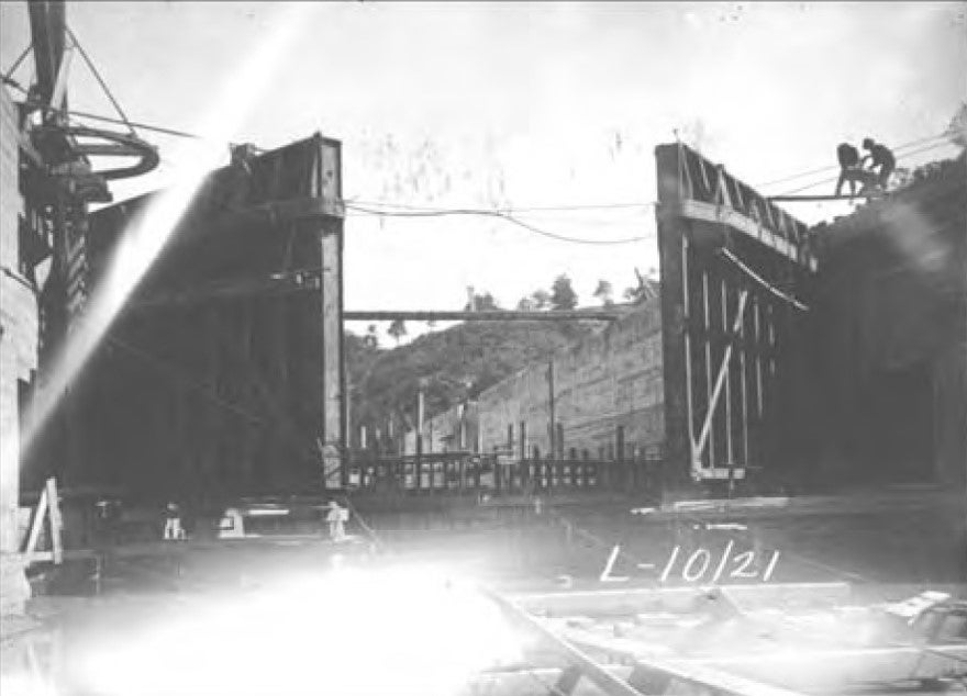
Visionaries in the 19th Century believed a slack water system of locks and dams would make Kentucky’s natural resources — particularly coal and timber — competitive on a national scale.
Completed by the U.S. Corps of Engineers in 1917, the system proved economically unsustainable.
Not so long ago, the Kentucky River was still considered a prime recreation area.
In the 1960s, the beach at Boonesborough was so crowded on weekends one could hardly find a place to lay a towel. The river was a clutter of fishing boats, water skiers and pleasure craft, the banks were lined with boat docks.
Today, the beach is mostly deserted and the boat docks are mostly gone.
After years of sporadic operation, the Corps began turning the locks and dams over to the state in the 1990s. Today, most of the locks are closed, and the dams serve primarily as impoundments for municipal water supplies.
A resurgence of interest in the river’s recreational, educational ecological and tourism potential led to formation of the Kentucky River Water Trail Alliance in 2012.
The Alliance — an association of the National Park Service, the Kentucky River Authority, Kentucky Adventure Tourism, the Kentucky Riverkeeper and others — want to “put the Kentucky River back on the map.”
Kentucky River pools 9 and 10, which form Clark County’s southern border, contain some of the state’s most important historic places. Both pools are now official “Blue Water Trails,” a designation of the Kentucky Department of Fish and Wildlife.
A 2014 Blue Water Trail Guide listed historic sites, notable landmarks and significant facilities along Clark County’s river corridor. It was intended to assist boaters, bicyclists and sightseers — whether local residents or tourists — learn more about the river from prehistoric times to the present.
The guide was published by the Winchester-Clark County Tourism Commission funded by a grant from The Greater Clark Foundation.
The list of sites below, adapted and updated from the guide, identifies important places along the river starting at the mouth of Red River and traveling downstream to Boone Creek.
While all the places are readily viewed from the water, some are a little more challenging to reach by land. Fortunately, the Ford, Boonesborough and Lower Howard’s Creek areas, which have the most sites, are accessible by local roads on the Clark or Madison side of the river.
Pool 10
The 14 locks and dams converted the river from a free-flowing stream to a series of impoundments stretching from Carrollton to Beattyville. Pool 10 is formed by Lock and Dam No. 10 at Boonesborough.
Red River
Red River serves as the boundary between Clark County and Estill County. Sawmills were operated at the mouth of the river by William Thomas and Azariah Martin in the 1840s. Booms on shore caught saw logs coming down Red River. The mills were on the south bank of the river in what is now Estill County. Henry Merritt ran the sawmills in the 1890s and also operated a distillery on the Clark County side.
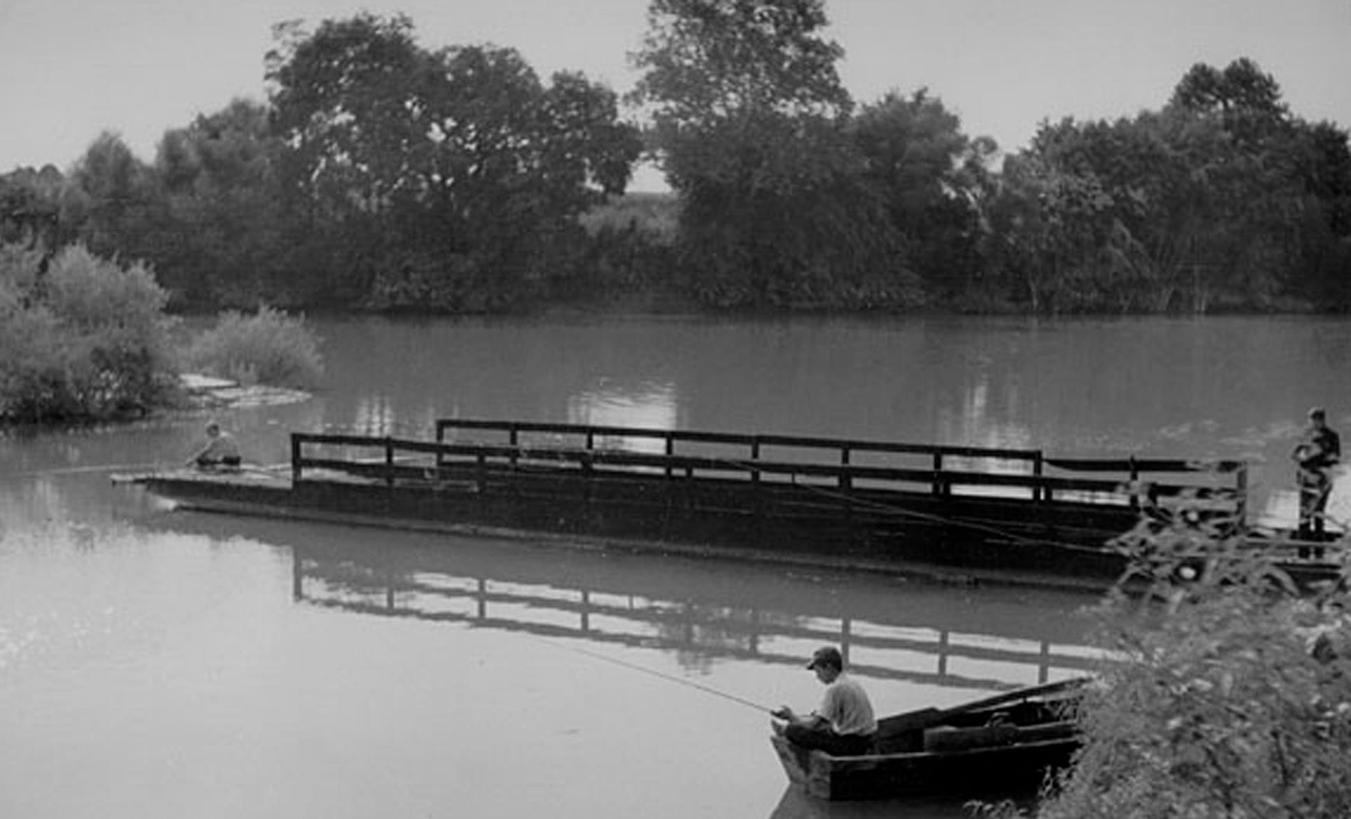
Red River Ferry
William Tuttle was granted ferry privileges across the Kentucky River in 1816. The Merritt family later operated the ferry which survived into the 20th century.
Red River Boat Ramp
There is a public boat ramp on the Clark County side of the river at the old ferry landing. It may be accessed via Ferry Road from Red River Road.
College Hill Boat Ramp
Kentucky Department of Fish and Wildlife has a public boat ramp that is open for boaters on the Madison County side of the river. Access from KY 977.
Harry Enoch, retired biochemist and history enthusiast, has been writing for the Sun since 2005.


