2 Tuesday tornadoes confirmed by NWS
Published 12:45 pm Thursday, April 4, 2024
|
Getting your Trinity Audio player ready...
|
Editor’s Note: Chief Steve Asbury has not served with the CCFD for over 140 years but has for over 15 years. The Sun apologies for this error
Clark County joined the list of areas affected by Tuesday’s severe weather outbreak. The National Weather Service (NWS) confirmed two EF1 tornadoes touched down in the morning.
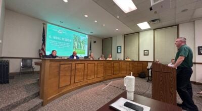
According to Clark County Emergency Management Director and Fire Chief Steve Asbury, the NWS team determined that the first tornado touched down in northern Clark County. It originated in Bourbon County around 9:20 a.m. as three separate funnels that merged into one. The tornado then crossed into Clark County.
During its 15-minute lifespan, the tornado tracked 13.4 miles across Pretty Run, Old Stoner and White Turley roads. Estimated winds reached 105 MPH, and the tornado reached 100 yards wide.
It primarily caused damage to barns and fences.
The second tornado touched down in the western part of the county at 9:30 a.m. and originated around Combs Ferry Road. It traveled 1.94 miles, had winds reach an estimated 104 MPH and was 150 yards wide.
The tornado traveled as far as Calloway White Road and dissipated around 9:33 a.m. The storm caused roof damage to a home located near Jones Nursery.
The twin twisters were the first confirmed ones in the area since Asbury started work with the department over 15 years ago.
Asbury also said that there were no injuries or loss of life attributed to the tornados.
The same storm system that produced the tornados also caused wind damage in Clark County and tornados in neighboring Bourbon County and as close as Jessamine County.